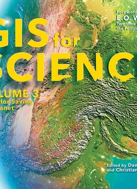
GIS for Science: Maps for Saving the Planet
Published on
GIS for Science: Maps for Saving the Planet, Volume 3, highlights real-world examples of scientists creating maps about saving life on Earth and preserving biodiversity. With Earth and the natural world at risk from various forces, geographic information system (GIS) mapping is essential for driving scientifically conscious decision-making about how to protect life on Earth. In volume 3 of GIS for Science, explore a collection of maps from scientists working to save the planet through documenting and protecting its biodiversity.
Downloads and Related Links